Rucksack Readers
  • About us
  • Authors
  • Blog
  • Contact us
  • FAQs
  • Links
  • All books
  • Scotland
  • England & Wales
  • Ireland
  • Worldwide
  • Pocket Summits
  • Specials
⚲  Search
  • 0 items£0.00

You are here: Home » Recommended maps » Dingle Way

Dingle Way

Our mapping is at 1:55,000 and appears on 20 pages of our guidebook. If you want folded sheet maps at a very slightly larger scale, consider the Ordnance Survey Ireland (OSI) Discovery maps listed below. Be sure to obtain the latest editions, and be aware that the English versions of placenames are not shown, only the Gaelic ones.

OSI Discovery 70

1:50,000
OSI Discovery 71

1:50,000

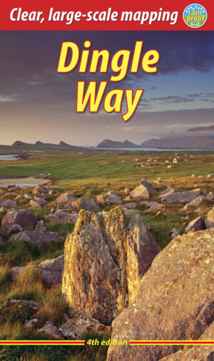
DGW4 cover

Dingle Way

£14.99
Add to basket
Newsletter signup

Sign up for our newsletter to keep up-to-date and receive discounts. View the latest newsletter or archive.


We send a newsletter every couple of months and you may unsubscribe at any time. We never send emails on behalf of third parties.

Our books
  • All books
  • Scotland
  • England & Wales
  • Ireland
  • Worldwide
  • Pocket Summits
  • Specials
Rucksack Readers
  • About us
  • Contact us
  • Authors
  • FAQs
  • Feedback form
  • Links
  • Notes for novices
  • Privacy policy
  • Terms and conditions
  • Delivery and returns
Get in touch
  • +44 (0) 131 661 0262
  • info@rucsacs.com

© 2023 Rucksack Readers.   All rights reserved.   Site by BCS Studio