Book data
Loch Lomond & Cowal Way
James McLuckie
01 March 2024
UK price £15.99
72pp,
130 x 220mm,
180g
978-1-913817-17-6
"Well illustrated throughout, with photos that are a good mix of informative and inspirational." - Scottish Mountaineer, Spring 2019
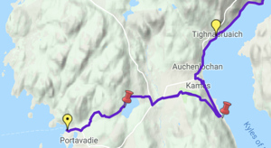
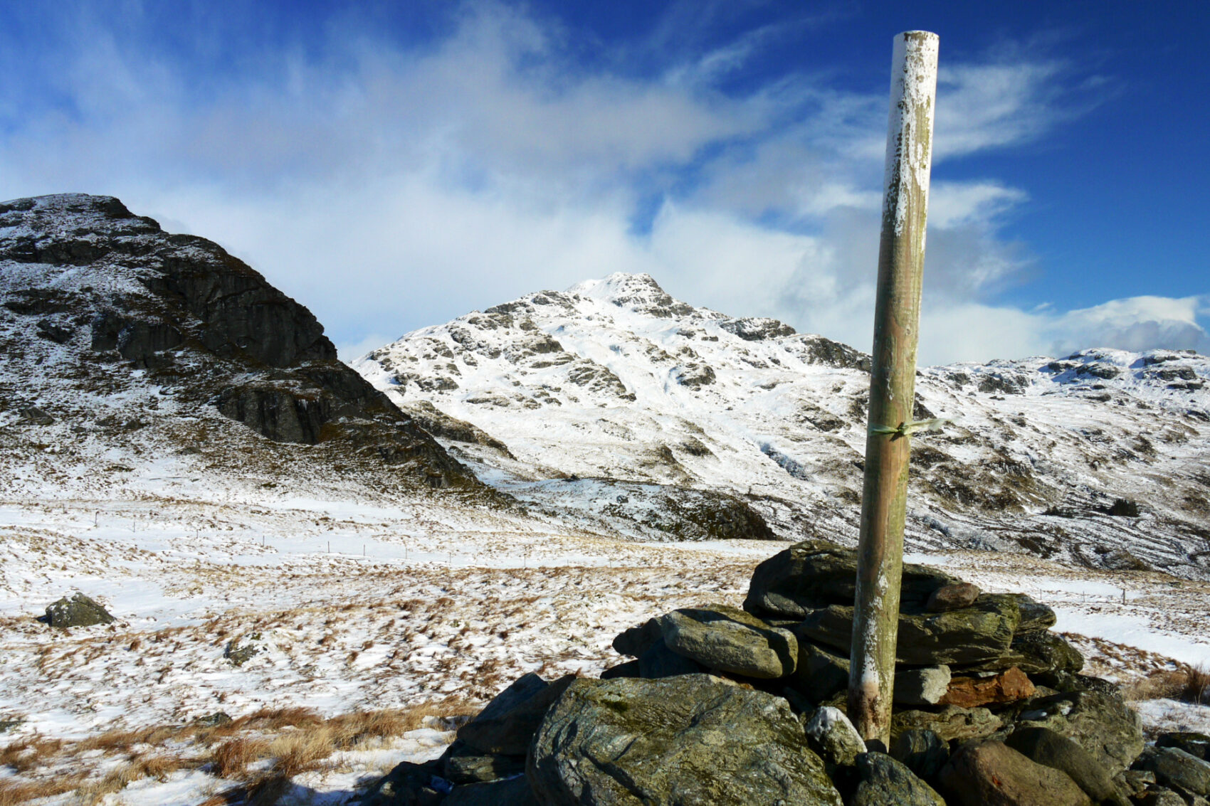
The Loch Lomond & Cowal Way is one of Scotland’s Great Trails. It runs for 57 miles (91 km) across the Cowal peninsula, which lies west of Glasgow and is easily reached by public transport, road and ferry. The route starts at Portavadie on Loch Fyne and ends at Inveruglas on Loch Lomond.
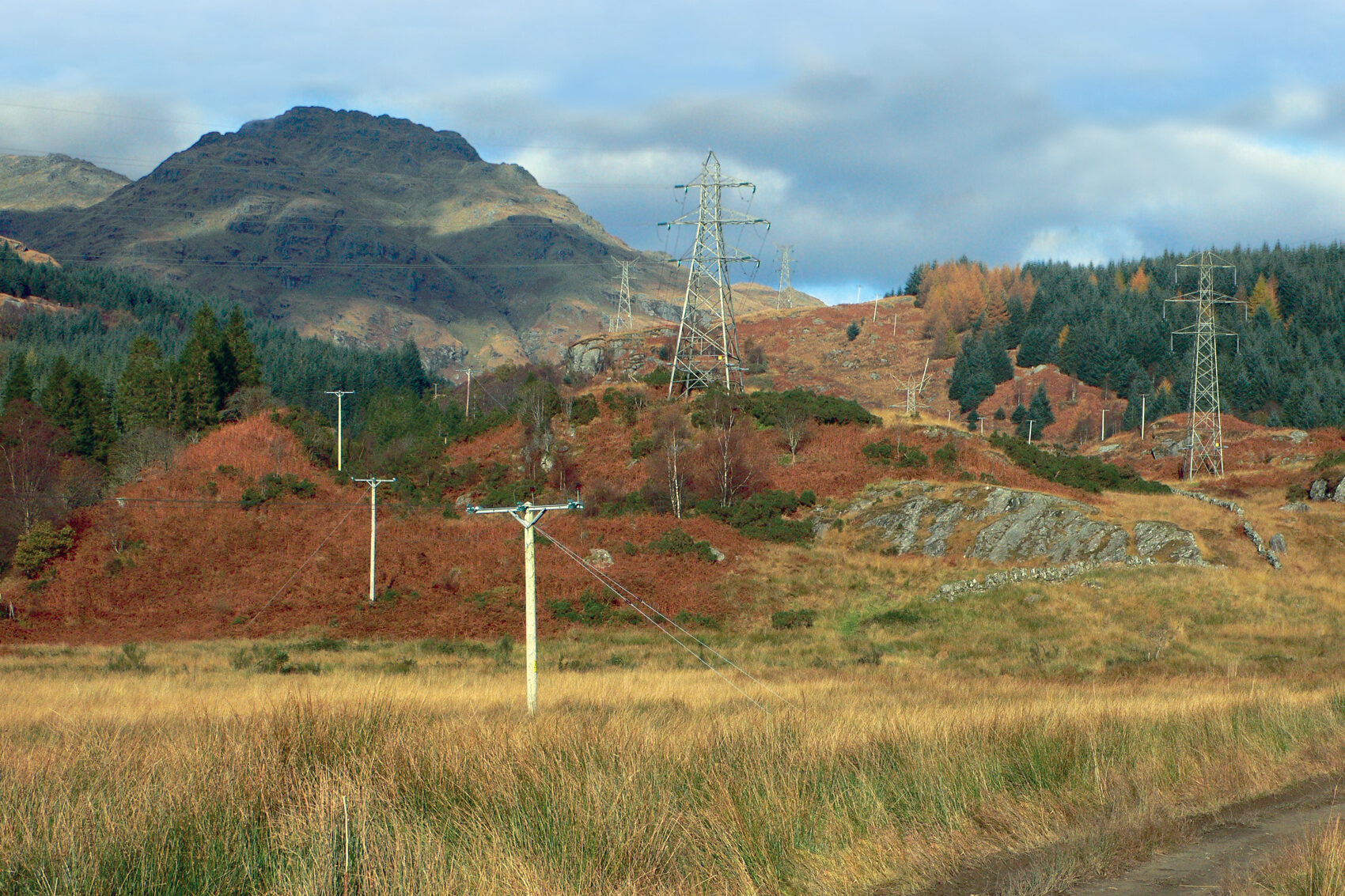
The trail is well waymarked and undulating, with rugged terrain and glorious views over the Isle of Bute and the Firth of Clyde. The area is rich in history and heritage, with wildlife sightings including red squirrel, red deer and golden eagle.
Cowal has ferry links to Bute, to Kintyre and across Loch Lomond to join the West Highland Way. It’s the missing link that enables Scotland’s ultimate long-distance walk, from Kintyre all the way to Inverness.
In November 2018 the route’s name was extended to Loch Lomond & Cowal Way to reflect the fact that over 50% of it runs within the Loch Lomond & The Trossachs National Park. Our first guidebook of that name was published in 2019 and sold out in 2023. The 2024 edition has many updates, perfect binding and fresh photos, and was released in March 2024.
This guidebook contains all you need to plan and enjoy the Loch Lomond & Cowal Way:
- detailed route description for the Way walked south-west to north-east
- summaries showing distance, terrain and refreshment stops
- 8 pages of detailed mapping with the route highlighted (1:50,000)
- map, tourist attractions and walks on the historic Isle of Bute
- background on Cowal’s heritage and wildlife
- hill-walks, including the famous Cobbler
- planning information for travel by car, ferry, bus and plane
- lavishly illustrated, with 95 colour photographs
- rainproof paper throughout.
Click on the thumbnails below to view sample pages from the book "Loch Lomond & Cowal Way" in standard PDF format.
To reduce loading time, resolution is limited in these extracts, but all photographs are printed at top quality in our books. All text and images are copyrighted ©Rucksack Readers and licensors: please respect our intellectual property.
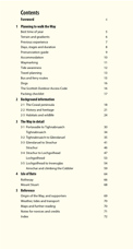 Contents
 Planning (extract pp4-9)
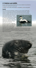 2.3 Habitats and wildlife
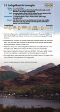 3.5 Lochgoilhead to Arrochar (extract)
Click thumbnail to enlarge.


Reviewed by Outdoor Focus
After 25 years in the military, James McLuckie was looking for a base for his proposed outdoor training centre. He found
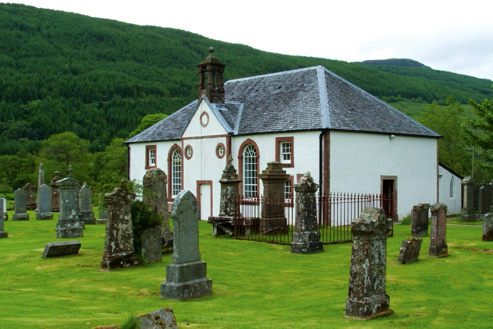
his ideal situation in the “hidden gem” of the Cowal peninsula in south west Scotland. And in 2009 he came up with the 57-mile Cowal Way, connecting some of the main heritage sites between the ferry at Portavadie on Loch Fyne and Inveruglas on the western shore of Loch Lomond. It also links the Kintyre Way with the West Highland Way, and runs for over half its length through the Loch Lomond and the Trossachs National Park.
This is a fully-revised version of the original Rucksack Readers guidebook, and includes also the 30-mile West Island Way [in] a 5-page feature on the lovely Isle of Bute.
Roly Smith
Reviewed by Scots Magazine
Printed on waterproof paper, The Cowal Way is a lavishly illustrated guidebook which includes a route map plus practical information for the walker.
Scots Magazine, July 2009, page 8
Reviewed by Scottish Mountaineer
Rucksack Readers [stand] out by tearing up the traditional model of guidebook and rebuilding it in a rainproof, rucksack or pocket-friendly format with spiral-bound pages guarded by a wraparound cover, which also acts as a placemarker.
The guide is well researched and clearly written, with lots of information presented concisely … as well as clear, bullet-pointed directions for each day’s stage of the journey. The maps are eminently useful too: large scale and inserted at the relevant stages of the trip.
Well illustrated throughout, with photos that are a good mix of informative and inspirational.
Neil Reid, Spring 2019 page 82

GPX route file